Detect3D Fire and Gas Mapping Study Examples
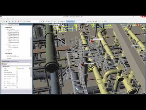
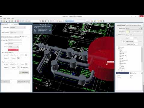
Onshore Project
Fire and gas mapping analyses are commonly performed on existing facilities. In the images below, several CAD files of an onshore facility are imported into Detect3D®. The existing fire and gas detector layouts are imported all at once via excel rather than manually positioning one detector at a time. Coverage values and associated visualizations for user defined zones can then be calculated in only a couple of seconds.


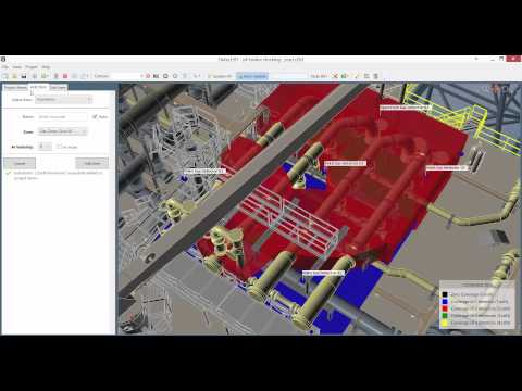
Offshore Project
There is no limitation to the size or complexity of Detect3D® projects. Entire FPSO models can be imported with ease. In this example project, flame detectors were positioned within the model creating three-dimensional isovolumes and two-dimensional contours to show the varying coverage levels in the defined fire zone.


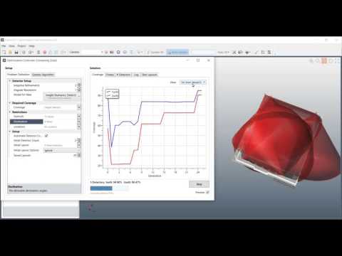
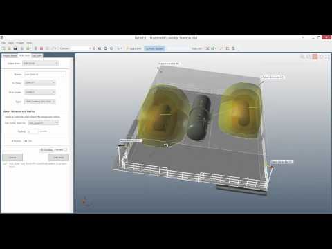
Capability Videos
Even with the included documentation, tutorials, and example slides, sometimes capabilities are best explained by watching an example in action. Subscribe to our YouTube Channel to get updates on new videos we publish.